Where Global Research Meets African Realities

We collaborate with universities and research institutions to design, pilot, and rigorously evaluate new technology — randomized evaluations, expert-in-the-loop AI, IoT sensor networks, and remote sensing — then carry what works into production systems.

Flagship Research · University of Virginia × 4D

AI for Agricultural Resilience — Decision Support System

With faculty at the University of Virginia and the National University of Lesotho, 4D is piloting its AI-powered Decision Support System: a retrieval-augmented (RAG) assistant that turns ReNOKA's 500-page Compendium of soil and water conservation measures into real-time, actionable guidance for extension agents and farmers — integrated with Land Cover Atlas data and continuously improved through expert-in-the-loop feedback (RLHF), with Sesotho-language support planned.

17Extension agents
340Farmers in randomized evaluation
2Planting seasons, 2026–2027
RAG + RLHFExpert-in-the-loop AI
View the resource-centre map →

Research & Innovation Portfolio

Live

Lipalo — National-Scale AI Advisory

Lesotho's AI-powered agricultural advisory, built on Anthropic Claude — real-time weather alerts, FAO-based crop calendars for 4 agro-ecological zones, LESIS soil analysis, and FAO-56 irrigation scheduling across all 10 districts.

Anthropic Claude101 agronomy knowledge chunks40+ API endpoints
lipalo.4dcs.co.za →
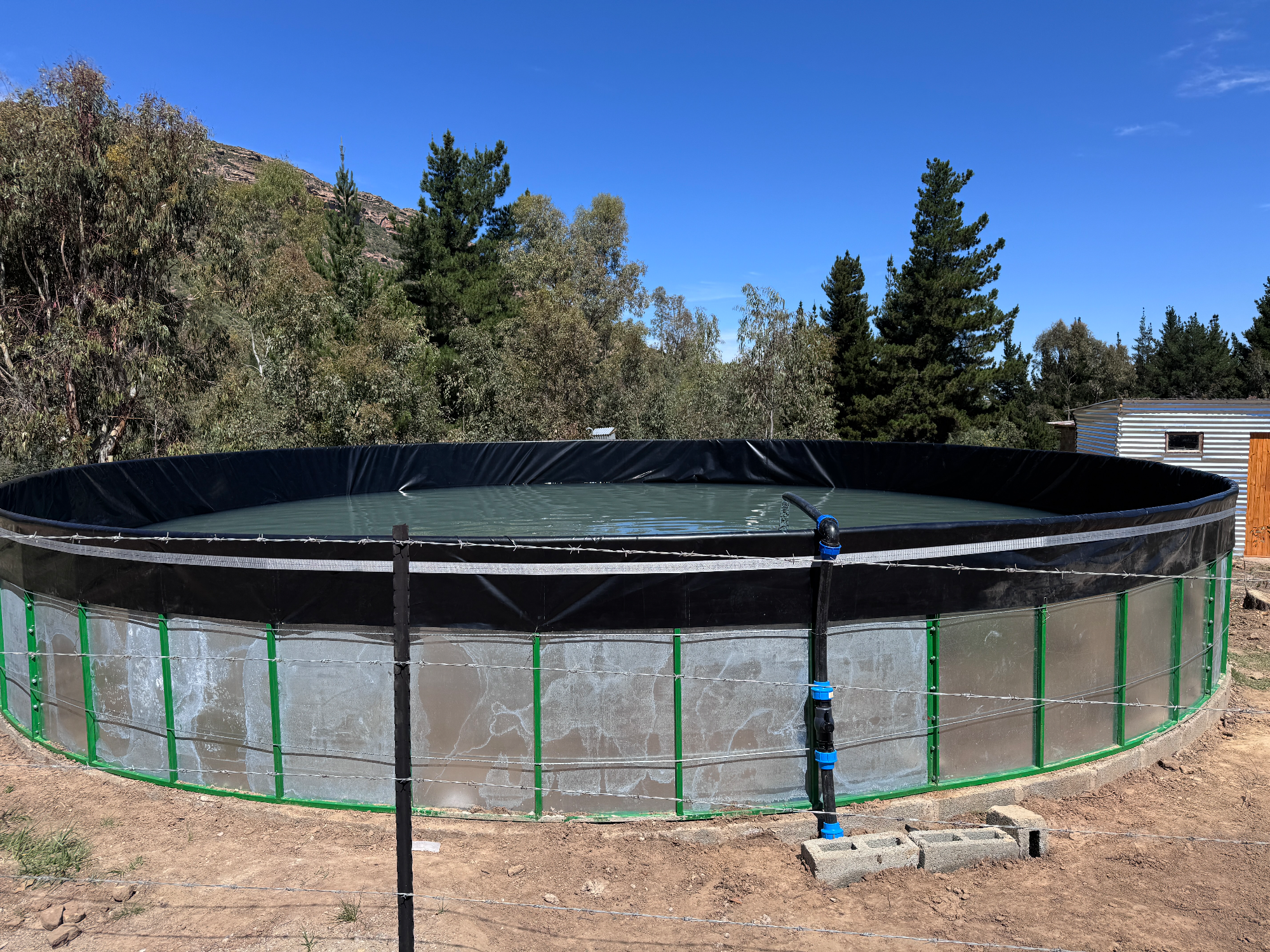
GrowSmart solar-powered irrigation installation
In Development

GrowSmart IoT Irrigation

Solar-powered smart irrigation with LECSA in Morija — live soil-moisture telemetry, weather integration, remote pump control from a mobile app, and predictive analytics with personalized crop advice.

IoT sensor networkSolar powerPredictive analytics
Partners: LECSA (Morija) · SunMoksha / G8Way Technologies
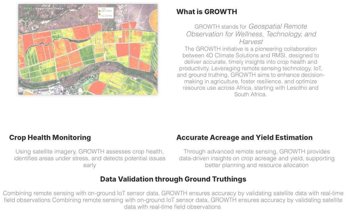
GROWTH NDVI satellite imagery analysis
Pilot

GROWTH — Remote Sensing for Crop Health

Satellite imagery and IoT sensors delivering crop health insights with RMSI India — NDVI vegetation indexing for early stress detection, yield estimation, and ground truthing across Lesotho and South Africa.

Satellite imageryNDVI analysisYield estimation
Partner: RMSI India
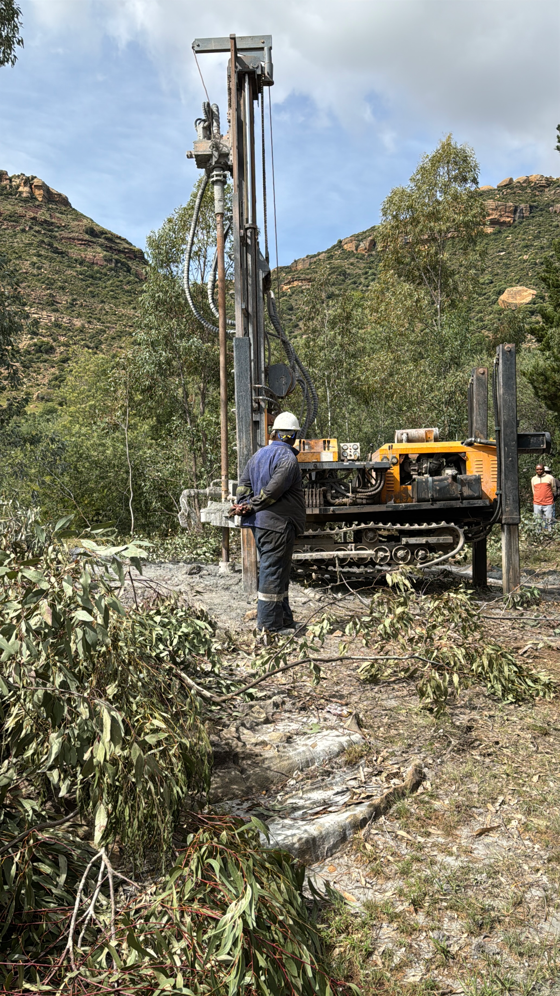
Groundwater and water resources research in Lesotho
Research

Groundwater Aquifer Classification

Collaboration with the University of Virginia on groundwater aquifer classification — geospatial analysis and remote-sensing assessments supporting water security planning in Lesotho's highlands and lowlands.

GIS analysisRemote sensingWater security
Partner: University of Virginia
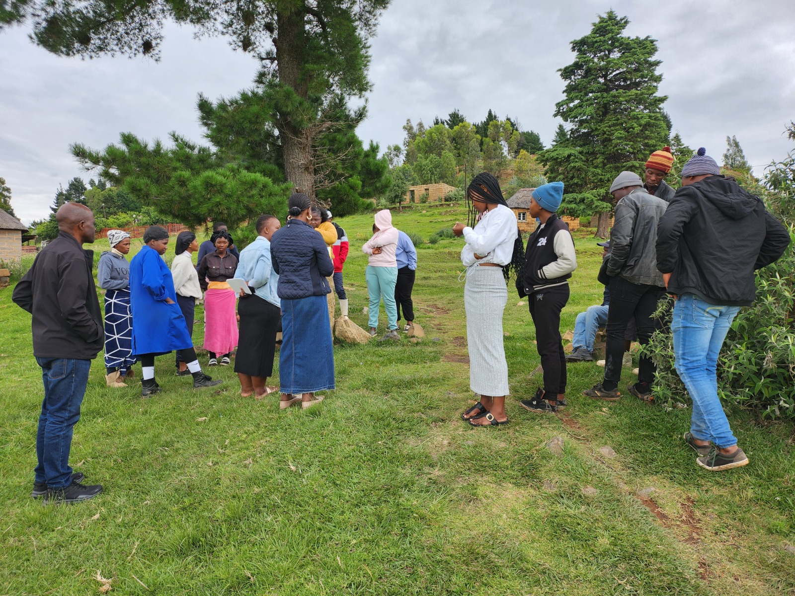
Community-led water monitoring
Ongoing

Value of Water Study

Economic valuation of water resources in highland communities with the University of Virginia — including community-led digital soil and water monitoring that puts research instruments in local hands.

Economic valuationCommunity-led monitoringDigital data capture
Partner: University of Virginia
Completed

Agricultural Insurance Feasibility

Market and data analysis for smallholder agricultural insurance across six value chains, delivered for the IFC (World Bank Group) with RMSI India — groundwork for data-driven climate risk products.

Data analysisClimate riskSix value chains
Client: IFC (World Bank Group) · RMSI India

Research & Technology Partners

University of Virginia (USA) National University of Lesotho Bangor University (UK) RMSI India Anthropic SunMoksha / G8Way Technologies

From Research to Production

Randomized evaluations Expert-in-the-loop RLHF Retrieval-augmented generation IoT telemetry Remote sensing Sesotho-language AI

Research With Us

We partner with universities, development institutions, and funders to test what works — rigorously, in the field, with communities.

Start a Conversation